
Enable real-time monitoring, tracking, and security using radars, sensors, and AI in aviation, defense, and public safety, ensuring precision and efficiency..
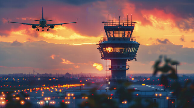
Enable safe and efficient air travel using radars, GPS, and real-time tracking for precise navigation, communication, and traffic management..
Manages airspace, flight paths, and communication to ensure safe and efficient air travel. Uses radars, automation, and real-time data for precise navigation and traffic control.
24/7 Services 365Days
InfoTech Sky offers a full range of works and services required for the commissioning of facilities and means of air navigation; pre-design and research, design, civil works, supply of equipment, construction and commissioning, warranty and post-warranty maintenance of equipment throughout the life cycle.
Positioning your company as a leader in shaping the future of aviation technology..
Enhancing global air navigation with cutting-edge solutions..
InfoTech Sky specializes in the design, development, and implementation of cutting-edge air navigation systems. Our expertise covers air traffic management (ATM), surveillance, and communication technologies, ensuring seamless, efficient, and secure air travel operations.
We strive to revolutionize air navigation technology by delivering precision-driven solutions that enhance airspace safety, optimize air traffic flow, and support pilots, passengers, and cargo worldwide.
To be the leading provider of state-of-the-art air navigation solutions, setting industry standards and seamlessly integrating air traffic management systems into a globally connected network.
We are dedicated to enhancing aviation safety and efficiency by providing advanced navigation solutions that support airports, aviation authorities, and aerospace organizations worldwide.
We provide advanced ATM solutions to enhance airspace efficiency and flight safety, ensuring smooth air traffic operations.
Our radars, ADS-B, and multilateration ensure real-time air traffic tracking for enhanced safety and awareness.
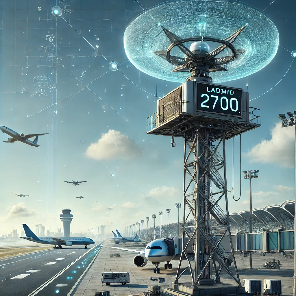
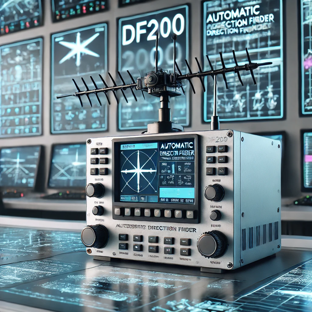
We provide ILS 2700, DVOR 2000, and VOR/DME for precise aircraft navigation and landing guidance.
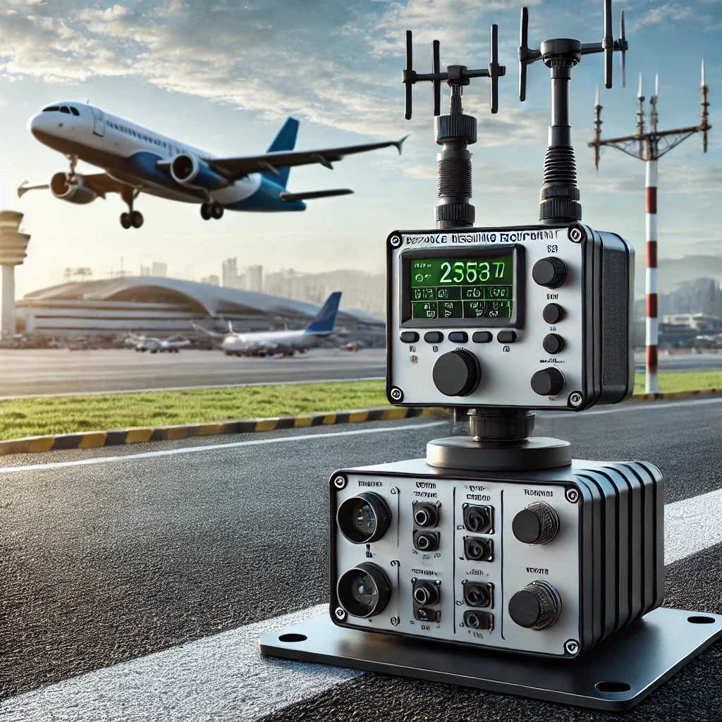
Our VHF/UHF solutions ensure reliable voice and data communication between pilots and air traffic controllers.
We provide 3D simulation training for aviation professionals, ensuring expertise in air traffic control and navigation.
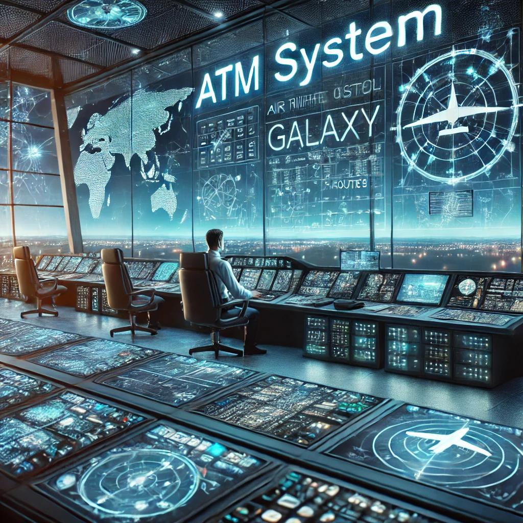
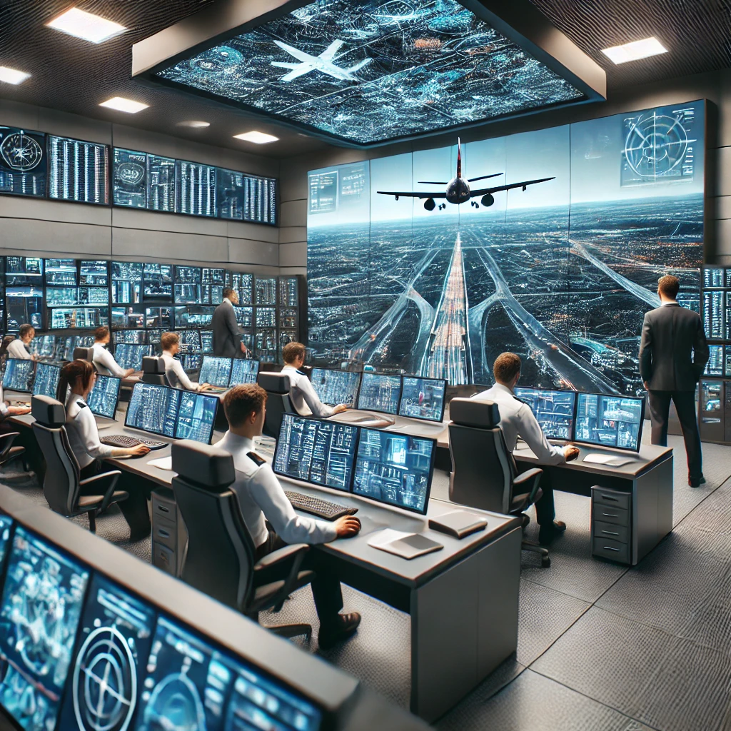
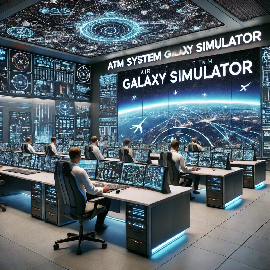
Our Air Traffic Management (ATM) systems ensure safe, efficient, and optimized airspace operations. With advanced solutions like the GALAXY ATM system, AMAN/DMAN integration, and remote virtual towers, we enhance air traffic control, flight coordination, and airspace management for seamless aviation operations
A next-generation air traffic control system for en-route, terminal, and approach areas.
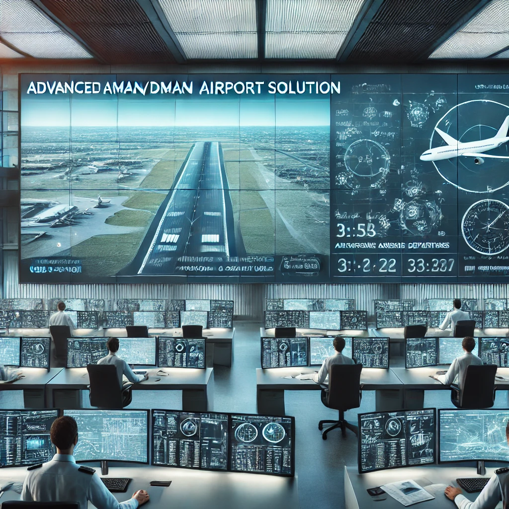
Optimizes airport arrival and departure flow for enhanced efficiency.
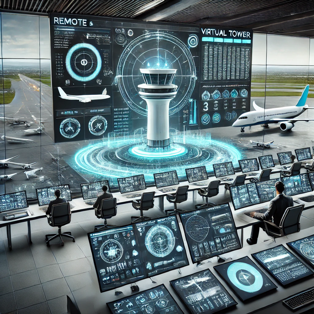
Advanced digital solutions for real-time airspace monitoring.
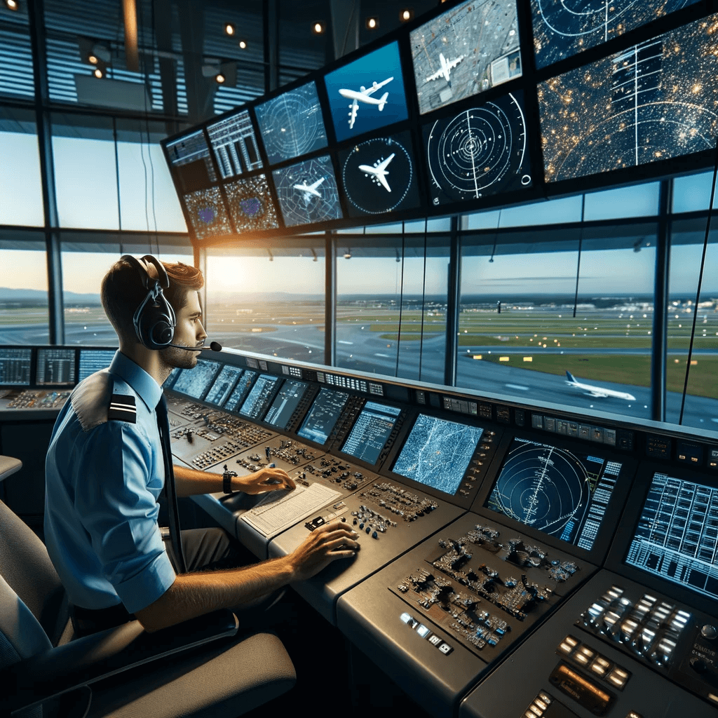
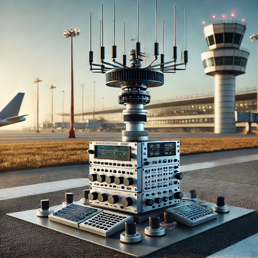
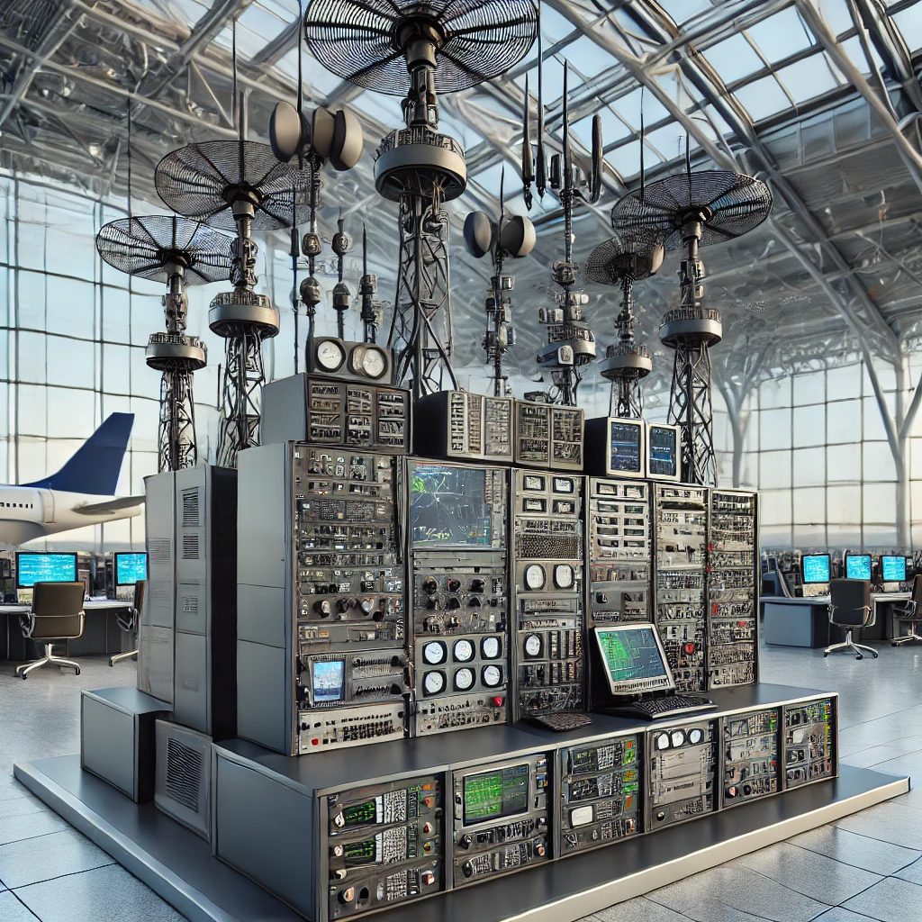
Our advanced surveillance solutions, including radars, ADS-B, and multilateration, provide real-time aircraft tracking for enhanced airspace security and operational efficiency.
Aerodrome Mode S radar with an integrated secondary channel (MSSR).
Ensures precise aircraft positioning and tracking.
Our high-precision navigation and landing systems, including ILS 2700, DVOR 2000, and VOR/DME, provide accurate guidance for aircraft approach and landing. These advanced solutions ensure safe, reliable, and efficient air navigation, meeting international aviation standards.
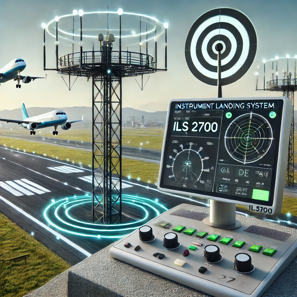
Provides high-precision aircraft approach and landing guidance.
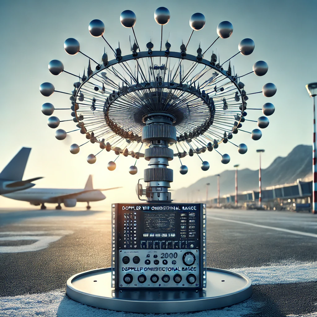
Ensures accurate navigation for aircraft on air routes.
Generates navigation signals for aircraft positioning.
Measures aircraft slant distance from ground stations.
Our advanced communication solutions, including VHF/UHF radio systems, voice communication systems (VCS 2700), and HF radio equipment, ensure clear and secure air-to-ground communication. These technologies enable seamless coordination between pilots, air traffic controllers, and aviation authorities, enhancing flight safety and operational efficiency.
Provides seamless air-to-ground communication.
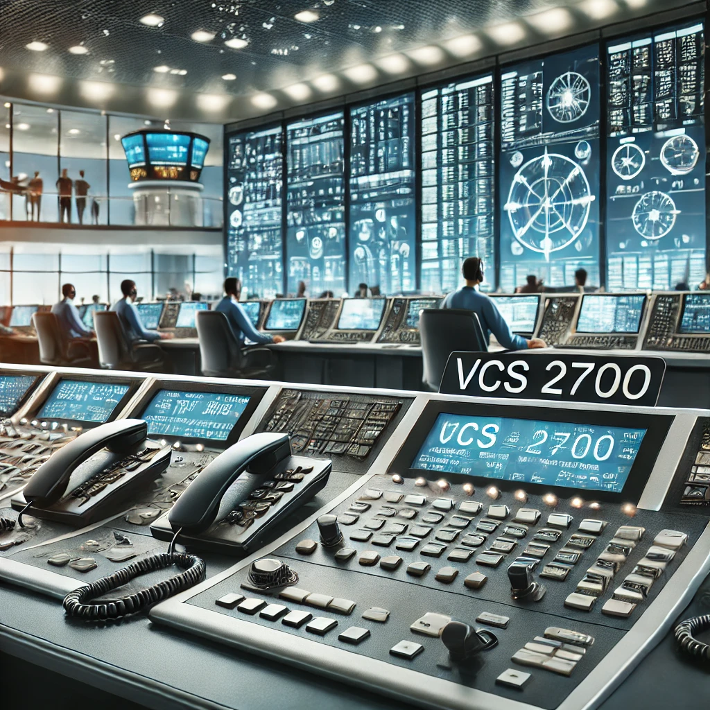
Ensures clear and secure radio and telephone communication for air traffic controllers and pilots.
Offers high-quality, noise-resistant long-range communication.
Our cutting-edge training and simulation systems, including the GALAXY ATM simulator and 3D visualization training tools, provide realistic air traffic control scenarios. These solutions ensure that aviation professionals receive hands-on experience, enhancing their skills, decision-making, and operational readiness in air traffic management and navigation.
Provides real-world air traffic control training.
Helps train aviation professionals in advanced air navigation techniques.
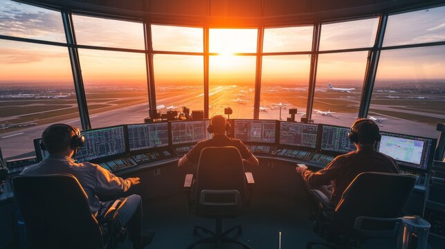
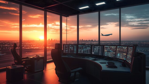
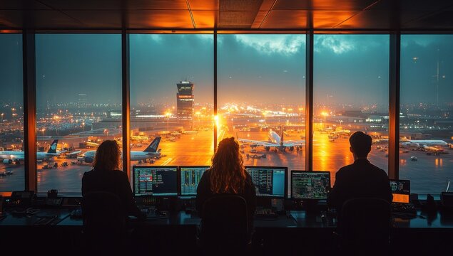
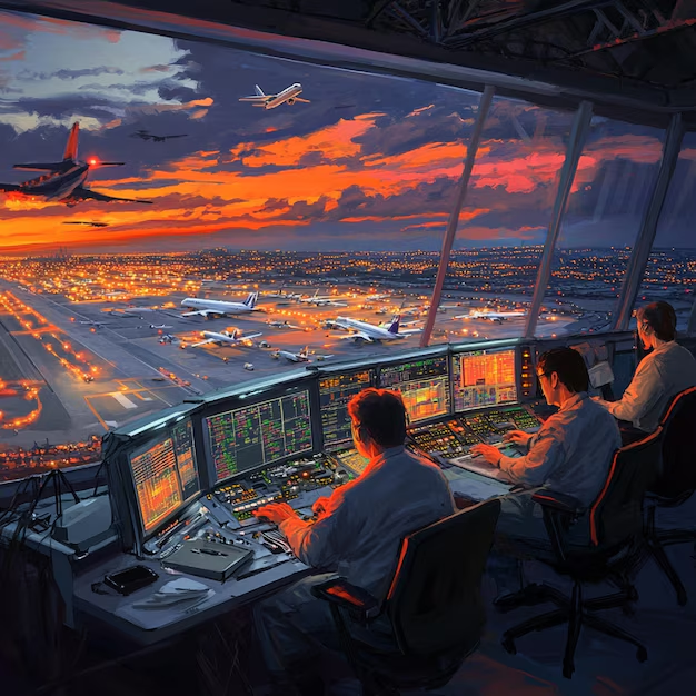
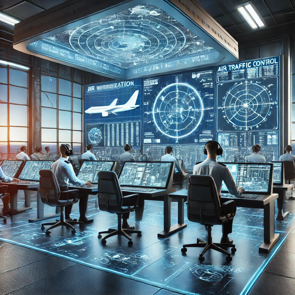
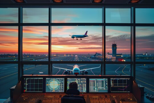
At the forefront, depict a modern Air Traffic Control (ATC) operations room. This control center features large wall-mounted digital screens and controller workstations, displaying real-time flight data, aircraft flight paths, radar scopes, and airspace status maps. Air traffic controllers are shown monitoring screens and coordinating flights. The ambiance is high-tech: perhaps transparent holographic displays or augmented reality elements highlighting aircraft labels and routes. This represents InfoTech Sky’s ATM systems. (InfoTech’s flagship ATC system “Galaxy” exemplifies this capability, providing comprehensive gate-to-gate traffic management across en-route, terminal, and approach phases.) The image conveys that the ATM system is the “brain” of air navigation – integrating data and orchestrating safe traffic flow. The control room’s sleek consoles and panoramic displays set a professional, high-tech tone for the scene.
In another part of the image (perhaps the background or a side scene), illustrate the surveillance infrastructure that monitors the skies. This could include a tall radar tower with a rotating radar antenna scanning the horizon, as well as a representation of satellite-based tracking – for example, a stylized satellite in orbit or a GNSS satellite icon beaming signals down to Earth. You might show radar green blips or tracking lines on a screen emanating from the radar tower. This element embodies Surveillance Systems like primary and secondary radars and ADS-B tracking. (InfoTech Sky’s surveillance offerings include advanced Mode S radar systems and space-based ADS-B surveillance for comprehensive aircraft tracking.) Visually, the radar tower could be set against an evening sky with faint beams or concentric circles to indicate radar sweeps. Nearby, an antenna or dish for receiving satellite signals can represent the wide-area monitoring. This portion emphasizes the vigilance and coverage of InfoTech Sky’s surveillance technology, constantly watching aircraft movements.
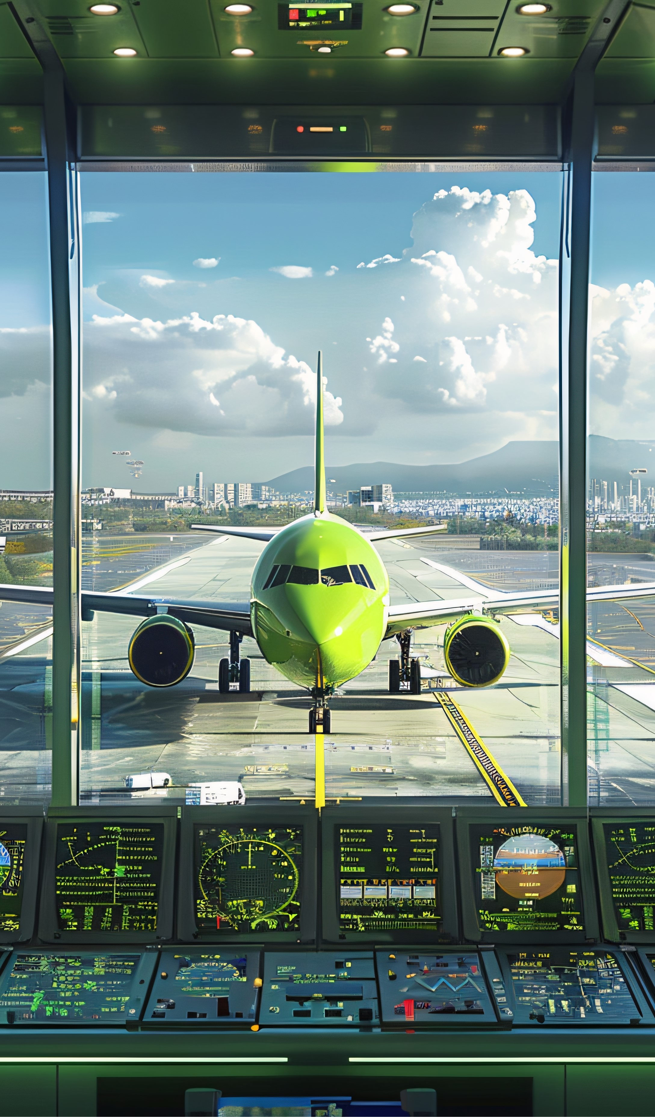
Anchoring the scene around an airport environment, portray navigation and landing aids that guide aircraft. For instance, include an airport runway perspective where an airliner is on approach or landing. At the runway’s end, show the Instrument Landing System (ILS) components: antenna arrays for the localizer and glide path, emitting guidance signals toward the incoming aircraft. Alongside, depict ground-based nav stations like a VOR/DME beacon – typically a small round radio antenna installation on the airfield – helping aircraft with en-route navigation and distance measuring. You might also include approach lights or PAPI visual aids on the runway to reinforce the landing guidance theme. This cluster represents Navigation & Landing Solutions. (InfoTech Sky provides systems such as the ILS 2700, which gives pilots precise guidance to align with the runway during approach and landing. They also offer VHF omnidirectional range beacons and DME equipment for route navigation and distance measurement, as evidenced by their DVOR/VOR product lines.) The image should make it clear that these technologies ensure aircraft can navigate accurately and land safely. For a futuristic touch, one could show faint signal beams or digital markers in the air guiding the aircraft to the runway, symbolizing the invisible navigation signals at work.
Communications are the lifeline between pilots and ground control, so depict elements of air-to-ground communication in the image. This might include a radio communication tower or antenna mast at the airport, and an air traffic controller wearing a headset at a communication console (perhaps as part of the ATC room scene). Visual cues like radio waves or icons traveling from the tower to an aircraft in flight can illustrate the concept of wireless communication. Also, a small inset of an operative using a Voice Communication System panel (with push-to-talk buttons and frequency displays) could be shown to represent digital communication tools. This section highlights InfoTech Sky’s Communication Systems service. (For example, InfoTech’s VCS 2700 voice communication system enables robust radio and telephone links for ATC centers, ensuring controllers can reliably talk to pilots and other stations.) All communication equipment is drawn in a modern, streamlined style – maybe the radios and headsets have a futuristic design. The airwaves connecting aircraft and ground tie into the overall network motif, reinforcing that constant, clear communication is part of the integrated air navigation solution..
InfoTech Sky also focuses on human expertise through advanced training, so include a scene of a Training & Simulation lab. Illustrate a few trainees or air traffic control students at simulator stations. They could be seated in front of multiple monitors or even a panoramic screen that mimics the view from a control tower. One monitor can show a 3D rendered airport or airspace (for example, a 3D tower visualization of an airport with moving aircraft), indicating an immersive simulation. Another screen might display an ATM system interface identical to the real control center, used for training scenarios. The trainees use input devices or touchscreen radar displays to practice managing flights. This element represents Training & Simulation services. (InfoTech Sky’s training suite is a component of their ATM system – it even includes a “Tower 3D Visualization” module for realistic tower simulations, allowing personnel to train in lifelike scenarios.) The visual style here should match the high-tech theme: perhaps the simulation screens have the same sleek UI as the real ATC system, underlining that the simulator is state-of-the-art. By showing active learning in progress, the image conveys that InfoTech Sky not only provides technology but also the know-how to use it through cutting-edge training solutions..
To round out the services, depict maintenance and support personnel attending to the equipment. This could be shown in the foreground or a corner of the image: for example, an engineer in a safety vest working on a piece of navigation equipment or server rack. You might illustrate a technician up on the radar tower performing a check, or someone with a toolbox examining the ILS antenna array by the runway. Alternatively, show an indoor scene with engineers at a workbench with electronic components, representing depot-level maintenance. This part symbolizes Maintenance & Support, underscoring that InfoTech Sky continues to service and upgrade systems throughout their lifecycle. (Indeed, InfoTech Sky offers full maintenance of equipment throughout the life cycle of their air navigation systems.) The image should give a sense of reliability and trustworthiness – perhaps the engineers are checking a digital diagnostics tablet or replacing a part, indicating proactive upkeep. Including this human technical aspect assures viewers that behind the high-tech systems, there is strong support ensuring everything runs safely and smoothly over time.
All these elements should be artfully blended into a single illustration with a unified, futuristic aesthetic. One approach is to use a wide panoramic composition: the ATC control room could transition into a view of the airport tarmac and sky. For example, on the left, the control room interior is visible with its screens; to the right, the scene opens to the airfield with the radar tower, communication mast, and an aircraft on approach to the runway. The training lab might appear as an inset or a semi-transparent overlay (to avoid breaking the realism, it could be depicted on a large screen within the scene or as a reflection in a glass panel). Maintenance staff could be depicted within their respective areas (an engineer near the radar tower or on the airfield). To ensure everything feels connected, the artist can use glowing graphical overlays (like subtle grids, connecting lines, or HUD elements) linking the radar, aircraft, and control center—symbolizing the data communication between these systems. The color scheme and lighting should remain consistent across the image (for instance, a twilight blue backdrop with bright digital readouts and reflections off equipment) to tie the pieces together. The end result is a high-tech aviation tableau that clearly communicates each service (ATM, surveillance, navigation, communication, training, support) while looking like one integrated, professional system. This cohesive design effectively showcases the breadth of InfoTech Sky’s air navigation technology services in a single, impactful futuristic image.

S30-19 Shed No.30 - TP,AL Hamra Industrial Zone-FZ,Ras Al Khaimah,United Arab Emirates